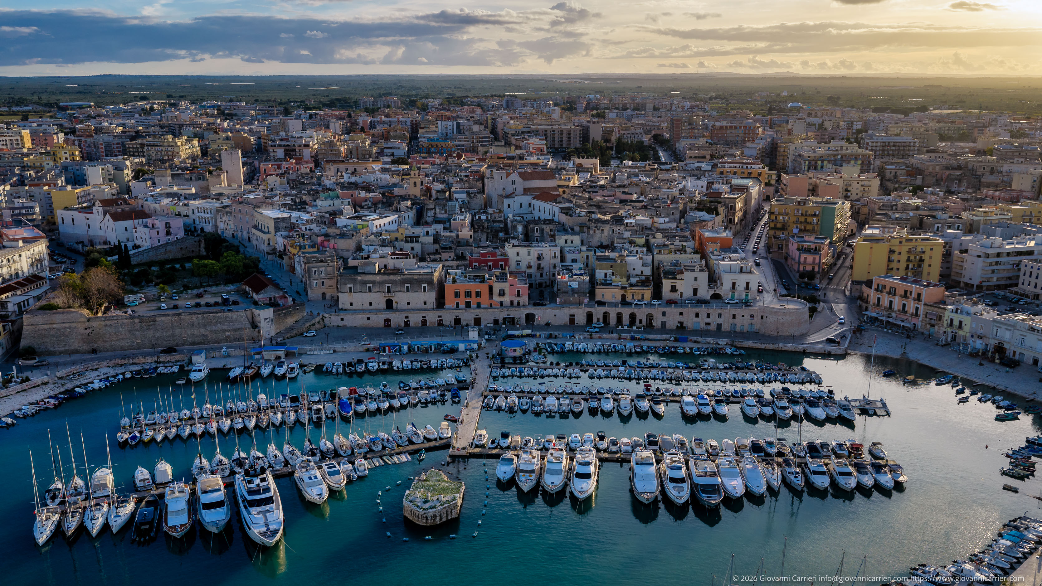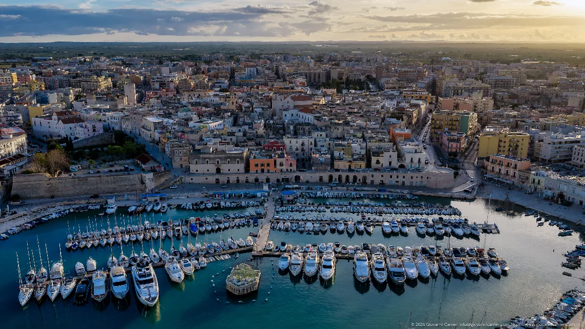
The marina and the old town of Bisceglie seen from above, with olive groves stretching towards the horizon
Aerial view of Bisceglie's harbour taken from the sea, at an altitude of about 75 metres, looking south-south-west: in the foreground the basin with the marina pontoons and the moored boats, in the middle the remains of the eighteenth-century pier rising like a small island, and behind them the row of buildings on the waterfront, with the old town rising behind them. Beyond the town the picture opens onto the olive-growing countryside as far as the horizon. The view clearly reveals the town's layout: the medieval core, enclosed by fortifications of the Aragonese period, grew around the natural inlet that forms the harbour and retains a dense network of narrow streets; the nineteenth- and twentieth-century districts lie around it, with regular blocks and taller buildings. Along the harbour front one can make out the stretches of wall with the arches at quay level and, on the left, the bastion closing the basin towards the open sea. The photograph was taken in late October, about an hour before sunset, with low sunlight from the west illuminating the facades and partial cloud cover inland.
Bisceglie, aerial view, marina, old town, waterfront, Aragonese walls, Apulia, BAT, view from above, Apulian countryside