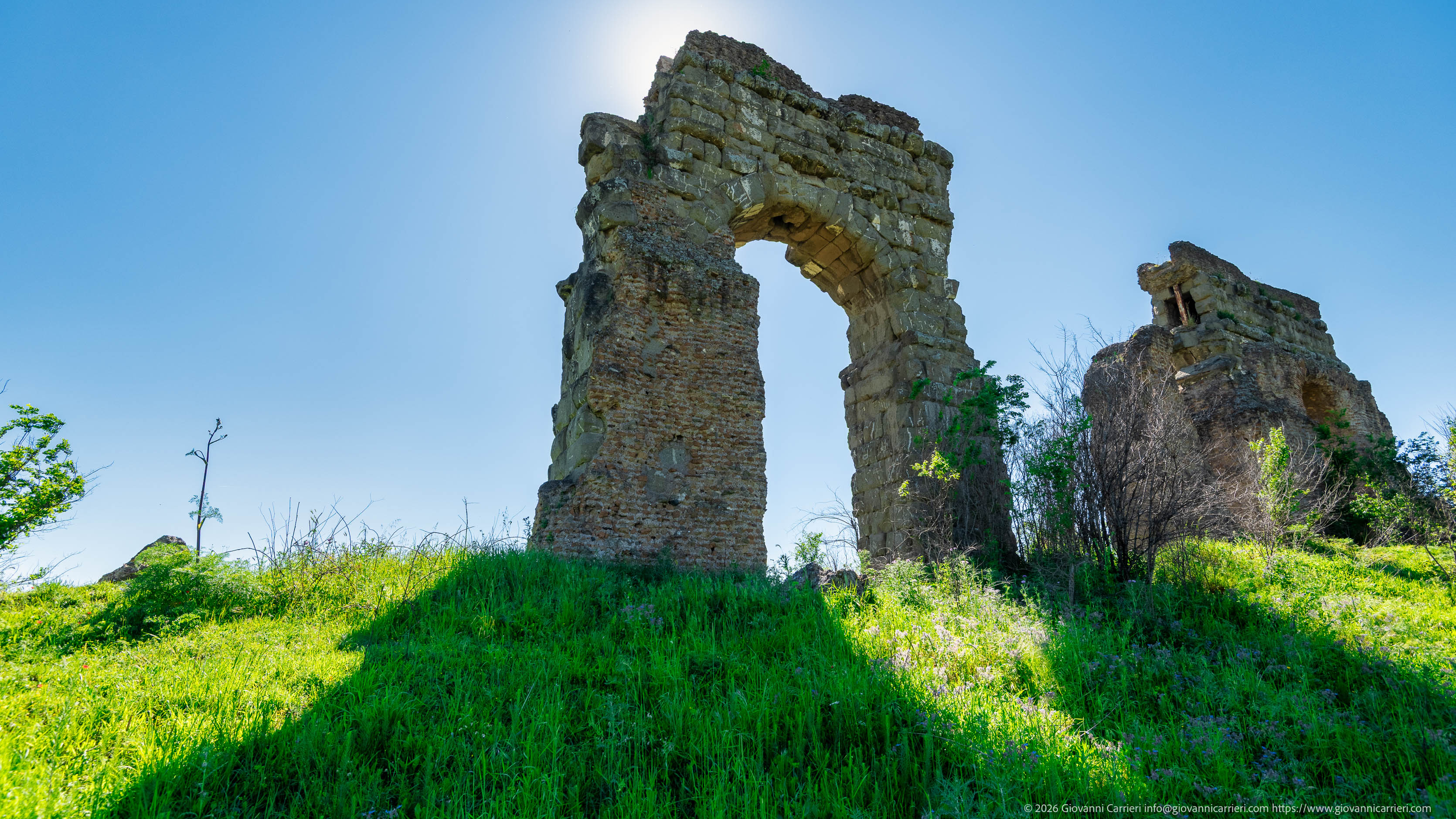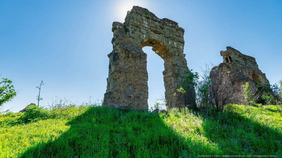
Park of the Aqueducts, Rome – Surviving Arch of the Claudian Aqueduct Against the Light, Late Spring
Parco degli Acquedotti, the northern sector of the Appia Antica Regional Park, in the south-eastern quadrant of Rome, in an area bounded by via Lemonia, the Quadraro district and the Don Bosco quarter. The park covers about 240 hectares of the Roman countryside and is crossed by the routes of seven aqueducts, six of Roman date and one of the late Renaissance. The image records an isolated pier with a surviving arch belonging to the arcade of the Claudian Aqueduct (Aqua Claudia), a conduit begun under Caligula in AD 38 and completed by Claudius in AD 52, which drew water from the Caerulea and Curtia springs in the upper Aniene valley and reached Rome after a course of about 69 kilometres, the last stretch carried on arches. On the same structure, in a channel set above it, ran the Anio Novus aqueduct, built in the same years. The masonry preserves the sequence of building phases: the arch is formed of squared blocks of tuff and peperino, while the pier retains its concrete core and sections of brick facing associated with the restorations of Vespasian (AD 71) and Titus (AD 81). To the right stands a second element of the same arcade, with the section of the conduit exposed. The grassy mound at the base is formed by collapse material and deposits accumulated in the centuries following the abandonment of the water network. View from below, with the sun positioned behind the crown of the arch; the flowering ground cover places the exposure in late spring.
Park of the Aqueducts, Parco degli Acquedotti, Rome, Claudian Aqueduct, Aqua Claudia, Anio Novus, Roman aqueducts, Appia Antica Regional Park, Roman archaeology, Roman arch, opus quadratum, opus latericium, tuff, peperino, Claudian period, Flavian restorations, Roman countryside, Quadraro, via Lemonia, Roman ruins, backlight, late spring, architectural photography, archaeological heritage, Lazio, Italy